Label : Mongolian Plateauland cover dateprojection system
Date: 2017-07-20
View counts: 9667
Browse document: Browse document
Download Dataset: Log in
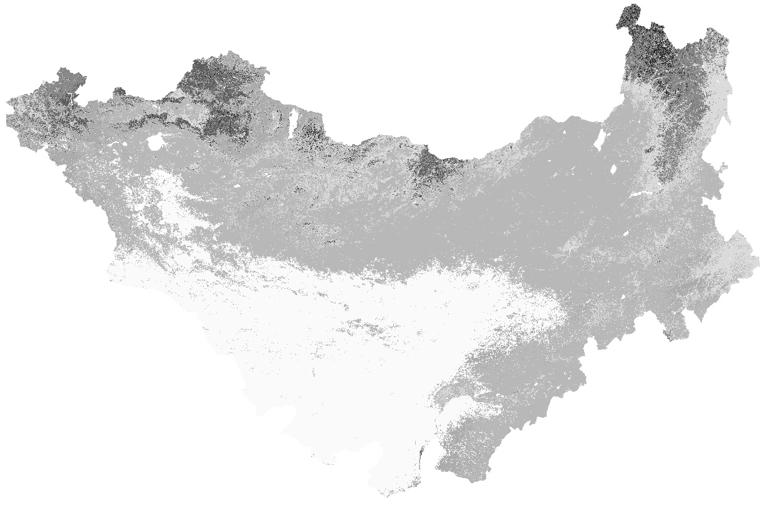
The Mongolian Plateau, as the largest arid and semiarid Plateau in Northern hemisphere, plays an important role in the climate changes and sustainable development of the ecological environment. The original dataset is the MODIS Collection 5 dataset produced by Boston University. The data set uses some methods, such as the MODIS reprojection tool MRT, projection system and data format conversion of MCD12Q1 products , land_cover_type_1 data extraction layer, data classification system transformation, resampling techniques, etc. The overall accuracy of the data is about 75%,and different land cover type has different accuracy . The resolution of raster data is 500 meters, which obtained from Mongolian plateau land in 2001.
Comment list ( 0 )

