Login   |      Register
English    中文


Spatial distribution of buildings in Myanmar


Spatial distribution of buildings in Myanmar

Label :

Date: 2025-03-31

View counts: 85

Download Dataset: Log in

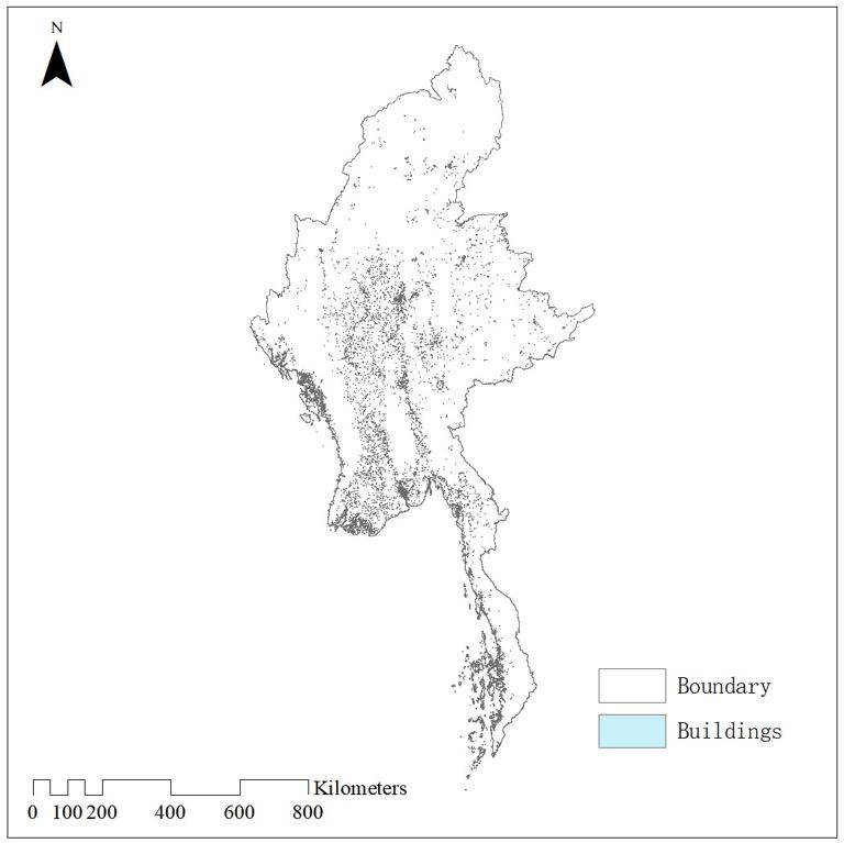
The data is based on high resolution imagery and deep learning segmentation algorithms to obtain information on building contours across Myanmar. This data shows the spatial distribution of buildings and their height attributes. The data format is vector shapefile with high accuracy.

Title alternate
Buildings in Myanmar
Parent identifier
Elementary geography
Topicategory
Elementary geography
Language
English
Type
Vector data
Format
shp
Time begin
2024
Time end
2024
Creator
Earth System Science Data
Publisher
Earth System Science Data
Contributor
Earth System Science Data
Organization
IKCEST-DRR
Operateson
IKCEST-DRR
Source
https://zenodo.org/records/11397015

    Sign in for comments!

Comment list ( 0 )