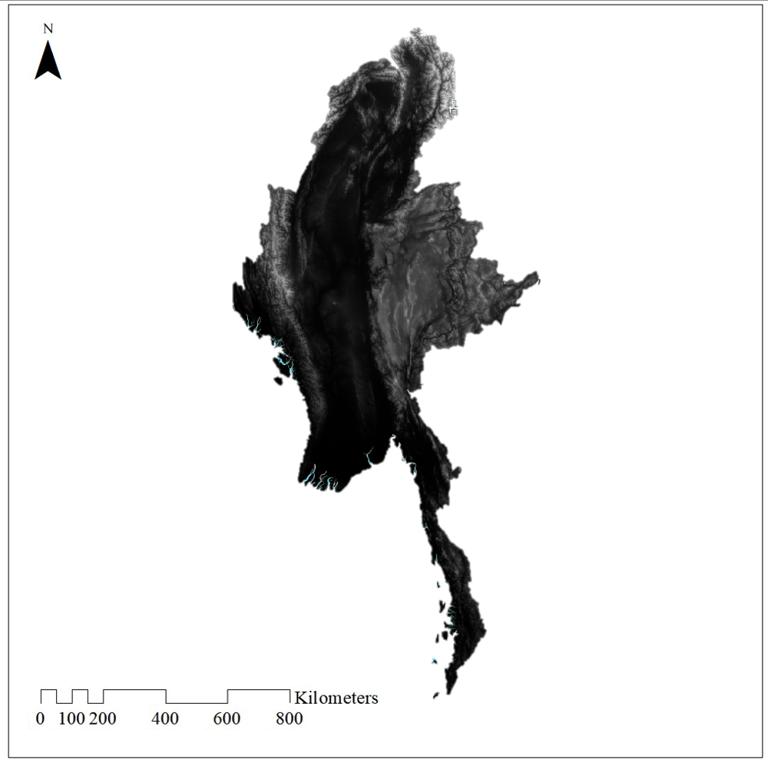
The dataset was downloaded from GEE, derived from SRTM (Shuttle Radar Topography Mission) published by NASA. It is available in img format at a resolution of 3 arc-second (approximately 90m at the equator).
Comment list ( 2 )

I am from Myanmar
I am Geologist from myanmar