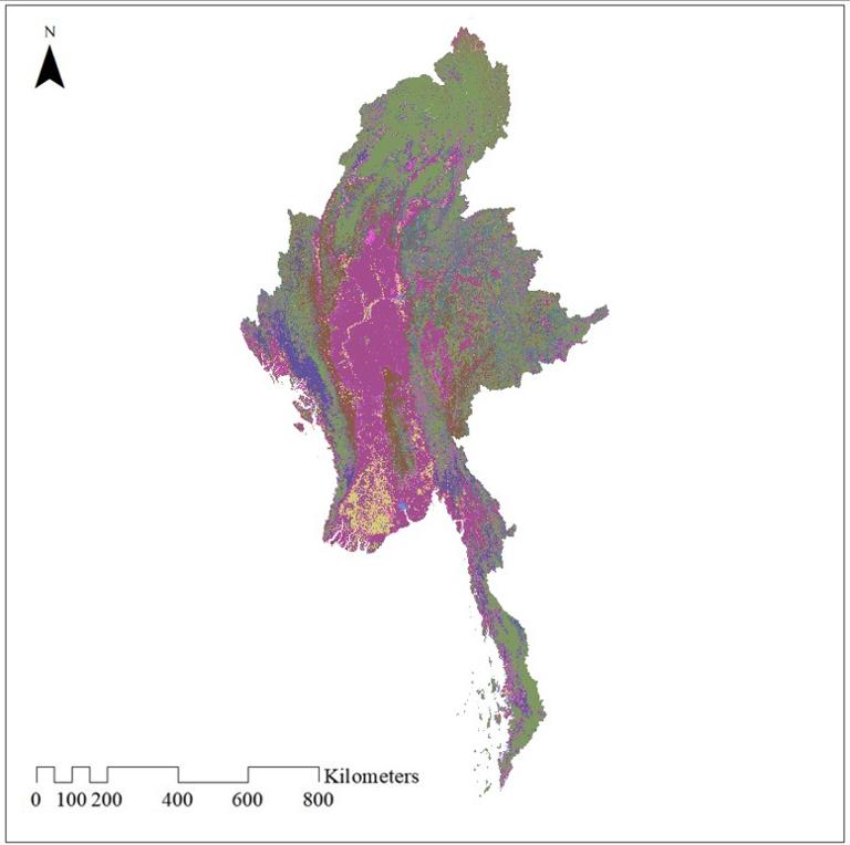
The dataset was taken from ESA's CCI project and has a resolution of approximately 300 meters. The year is 2020. The data contains 36 categories, including forests, grasslands, shrubs, farmland and buildings, among others
Comment list ( 2 )

thanks alot for data
Thanks alot