Login   |      Register
English    中文


Myanmar high resolution images in the earthquake zone


Myanmar high resolution images in the earthquake zone

Label :

Date: 2025-03-31

View counts: 73

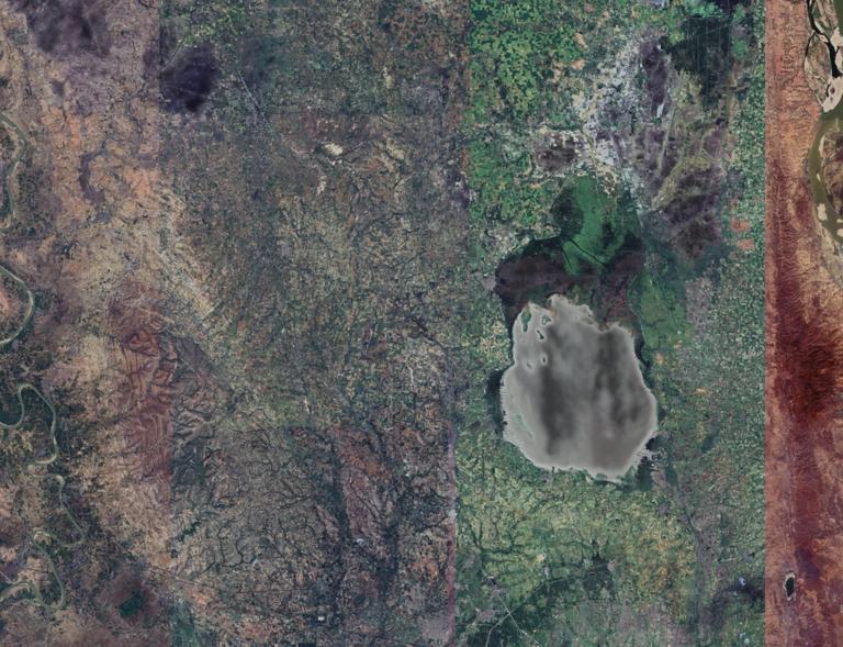
The dataset is a high-resolution remote sensing image of the epicenter of Mandalay, Myanmar with a spatial resolution of 8 meters . We obtained it by crawling Google Earth via python code.

Title alternate
Myanmar high resolution image
Parent identifier
Remote Sensing
Topicategory
Remote Sensing
Language
English
Type
Raster data
Format
TIF
Time begin
2020
Time end
2020
Creator
Earth Online
Publisher
Earth Online
Contributor
Earth Online
Organization
IKCEST-DRR
Operateson
IKCEST-DRR
Source
Earth Online (https://earth.esa.int/eogateway/missions/quickbird-2)_

    Sign in for comments!

Comment list ( 0 )