Login   |      Register
English    中文


Image of Sentinel 2 in the earthquake zone of Myanmar


Image of Sentinel 2 in the earthquake zone of Myanmar

Label :

Date: 2025-03-31

View counts: 88

Download Dataset: Log in

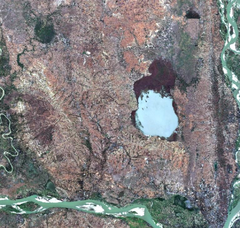
The dataset is a Sentinel 2 multispectral image before the earthquake in Myanmar, with a spatial resolution of 10m, and the data has been declouded, devapored and mosaic by the GEE platform.

Title alternate
Image of Sentinel 2 in the earthquake zone of Myanmar
Parent identifier
Remote Sensing
Topicategory
Remote Sensing
Language
English
Type
Raster data
Format
TIF
Time begin
2025
Time end
2025
Creator
ESA
Publisher
ESA
Contributor
ESA
Organization
IKCEST-DRR
Operateson
IKCEST-DRR
Source
ESA(https://dataspace.copernicus.eu/)

    Sign in for comments!

Comment list ( 0 )