Label : Moroccosoil resourcesspatial distribution.
Date: 2023-09-16
View counts: 8162
Download Dataset: Log in
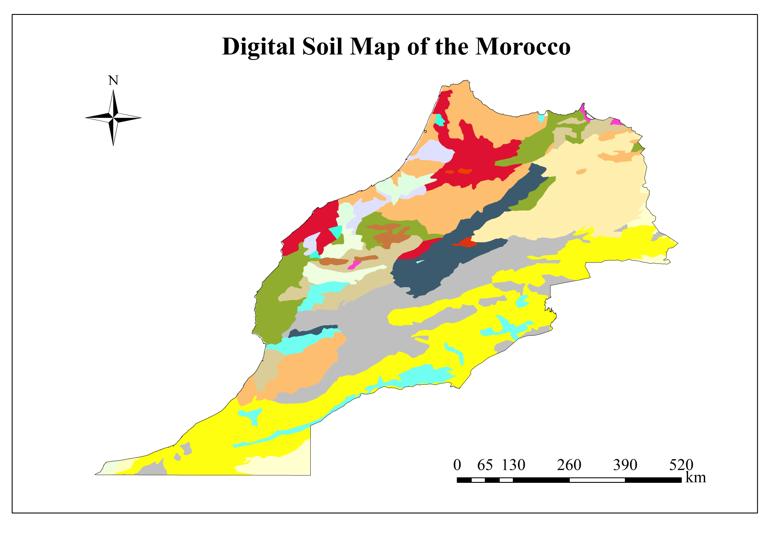
Morocco has diverse types of landforms and fertile soil. This dataset is made by using the water distribution data downloaded from Food and Agriculture Organization of the United Nations official . Data were obtained by clipping. With the help of ArcGIS software, it can be sorted, cut and synthesized.
Comment list ( 6 )

Very helpful map that can be used in hydrology studies or urban planification
Thanks intresting
Thank you so much for sharing this dataset
Thank you very much it was useful
Thank you for sharing this data
Merci pour les données

