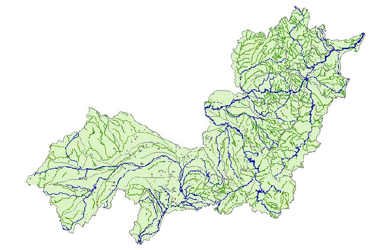
Label : basin rangesongliaolakeriver
Date: 2018-01-25
View counts: 9601
Browse document: Browse document
Download Dataset: Log in
Based on the reconnaissance and analysis technology, the data set is made up of the reconnaissance and analysis results and the interpretation of remote sensing, and the spatial reference (projection and coordinate system) is Albers. The survey results images are derived and read in software ArcMap, using a variety of tools for a map, based on the scale of standard framing way of interpretation, the formation of vector data is formed into the file. Finally, the data is exported in the vector file. The hydrologic data of river, lake, reservoir and the basin range were extracted from the file library to build the hydrologic database of Songliao basin.
Comment list ( 0 )
