Label : Surface deformationChina-Pakistan Economic CorridorInSAR
Date: 2025-02-18
View counts: 1337
Browse document: Browse document
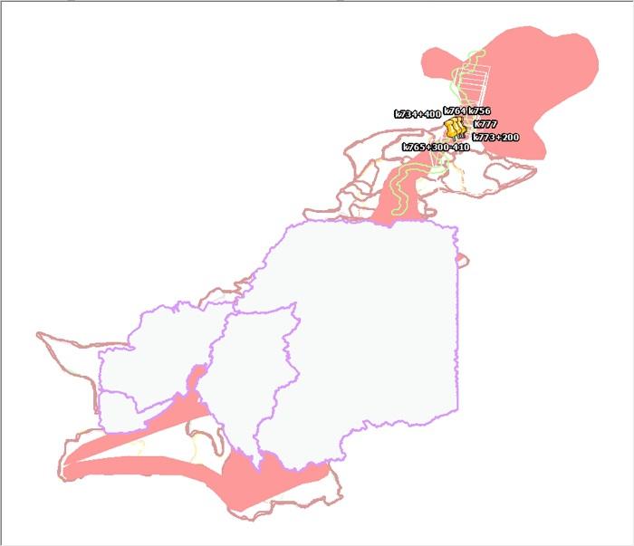
Based on time-series InSAR technology, the surface deformation data covering all areas of the China-Pakistan Economic Corridor (CPEC) from 2014 to 2018 was monitored to obtain deformation data. The surface deformation data can be used to monitor and warn geological disasters, such as landslides and earthquakes. By analyzing the surface deformation data, the potential geological disaster risk areas can be found in time, and the scientific basis for disaster warning and emergency response can be provided.
Comment list ( 0 )

