Label : China-Pakistan Economic Corridorearthquake disaster
Date: 2020-05-30
View counts: 10124
Browse document: Browse document
Download Dataset: Log in
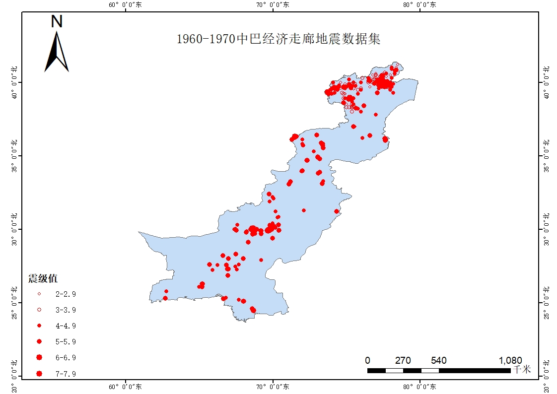
The data set,which is obtained from USGS and references by grabbing, collecting and sorting, contains seismic information of time, disaster type, focal depth, location, etc of China Pakistan Economic Corridor from 1960 to 2000. This data set help users realize the time and space distribution of earthquake, and provide strong support for scientific research related to earthquake disaster prevention.
Comment list ( 0 )

