Label : Dhakarisk assessmentheatwave
Date: 2021-06-04
View counts: 6742
Browse document: Browse document
Download Dataset: Log in
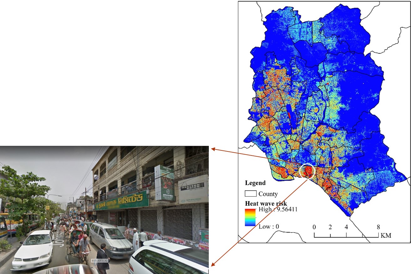
The data set uses the surface temperature index to evaluate the risk, uses night light data, population density, population over 65 and less than 5 years old, and population without self-care ability to evaluate exposure, uses NDVI, distance from hospital, distance from water body, distance from road, impervious layer area ratio, slum area ratio index to evaluate disaster prevention and mitigation capabilities. Comprehensive risk assessment is conducted through hazard, exposure, disaster prevention and mitigation capabilities, and dataset products are produced. The spatial range is Dhaka, Bangladesh, with a spatial resolution of 30 meters.
Comment list ( 0 )

