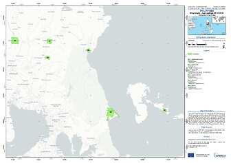
Noru, known locally as Karding, first made landfall as a super typhoon on the 25th September, but later weakened at 20:20 local time (12:20 GMT) on Sunday. Its peak wind increased from 60 to 160 mph in 24 hours as it transformed from a tropical storm to the equivalent of a Category 5 hurricane. This leap was the fastest 24-hour intensification rates on record for any tropical cyclone. More than 74,000 people had been evacuated from the typhoon's path, and officials had earlier issued warnings of "serious flooding" in areas of the capital, Manila. The Copernicus EMS Rapid Mapping was requested to provide Damage Assessment products.

