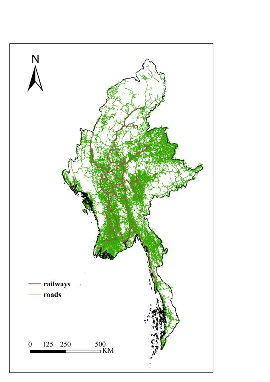
This dataset is road network data from OpenStreetMap, including railways, motorways, gravel roads, cycle paths, footpaths and more. It records traffic network information such as roads, paths, bridges, intersections, etc. It is widely used in navigation, traffic analysis, urban planning, academic research and other fields. For specific needs (e.g., high-precision navigation), it is recommended to combine it with other data sources (e.g., satellite images or government open data) for supplementation and correction.
Comment list ( 0 )

